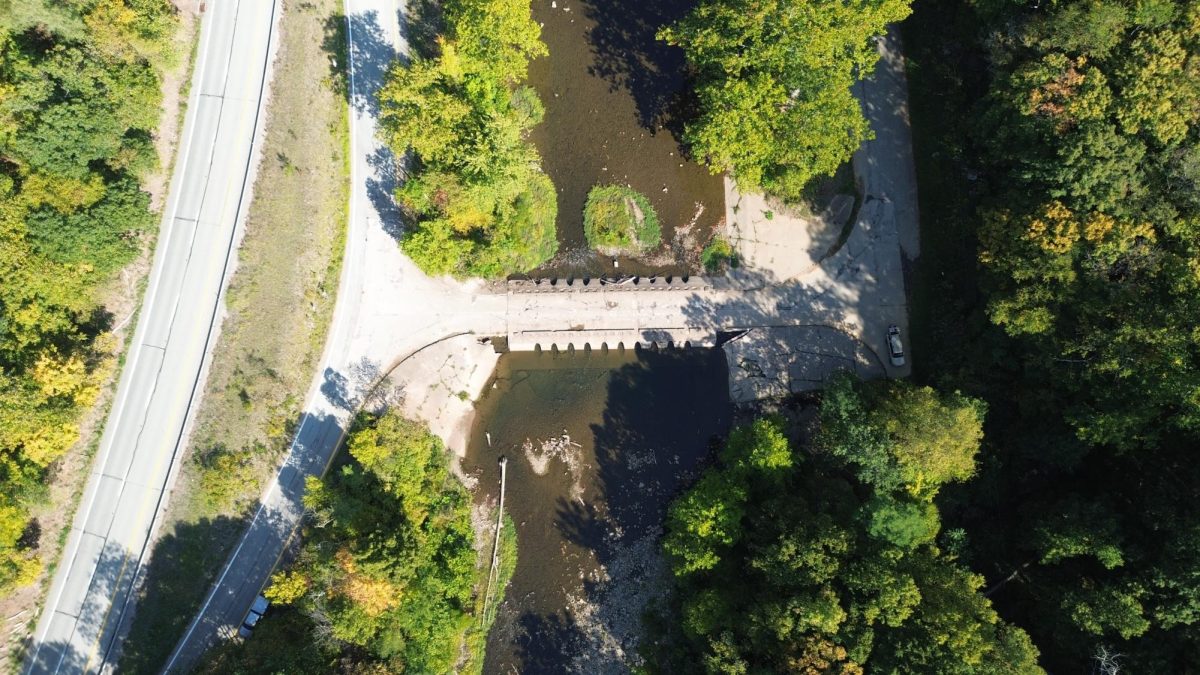
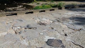
There is a bridge that floods, this bridge looks like it has been struck by cluster munitions with rebar clearly visible, logs clogging the holes that let the water flow through, and when it rains the is submerged by the Loyalhanna as if it wasn’t even there. This is the bridge that floods.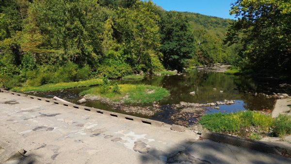
The bridge that floods is not a bridge but a causeway which is defined as a raised road or track across lowlands, or water, some of which are designed to allow water to overflow in the event of floods or increased water levels. Well known causeways in the US include The Lake Pontchartrain Causeway, Sanibel Causeway, and I-10 Bonnet Carré Spillway Bridge.
This causeway is named Loyalhanna Causeway and this causeway has a special place in my mind, mainly in the file on where to swim/fish for free, but also it’s a place where I can escape and just sit and watch the water flow, swim, and fish provided that they’re in season.
I visited the causeway last weekend to record the experience and take photos. The drive to the causeway is a rather enjoyable experience that begins when you get on route 30 and drive past the Lincoln Highway Experience in which all my years of living and driving on Route 30 I’ve never stopped at. Once I passed the the Lincoln Highway Experience the road twist and turn with curves that if driven at an unspecified speed feel like a race track having to slow down to make the turns safely, then immediately increasing speed to glide across the straits although the trip can be short provided that you turn on Route 30 east in which I normally don’t, due to being immersed in the driving experience. Turning on Route 30 east can be difficult for new drivers and even experienced drivers if surrounded by other vehicles due to the need to decrease speed to make the tight turn and knowing when to slow down is made difficult by the outlet being blocked by trees and the only sign of approach is an old abandoned building which is after the inlet and slowing down too suddenly could lead to an accident, this is why I personally prefer to take the inlet from Route 30 West. Taking the inlet on Route 30 West is a much simpler turn off with the turn off ramp being easily visible and accessible.
When I arrived at the causeway from Route 30 west I cross the old possibly crumbling causeway to the other side of the Loyalhanna depending on the amount of cars I will park in the in the corner, one of the two actual parking spots, or along the road that leads to Route 30 east. Depending on where I parked I’ll open the trunk leaving the car on and blast some music while swimming or wandering around the causeway. Today I did exactly that, popped the trunk and blasted some music.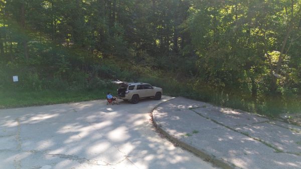
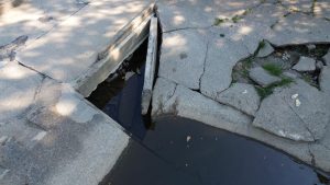
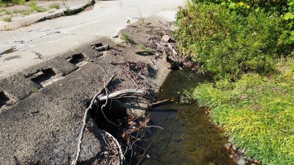 I began my time at the causeway walking to the other side of the causeway noticing some of the holes clogged not by random silk/slut but every part of the tree, the trunk, stump and branches every part was their including a fallen tree on the other side of the causeway and my mind thought it went through the holes, but I doubt it actually did. While crossing the causeway it became obvious that the causeway is in bad shape even excluding the clogged holes.
The damage to the causeway ranges from nature growing in between cracks to entire parts separated from the structure, filled and unfilled pot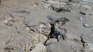 holes, and exposed rebar. The damage to the causeway could lead to a problem in the future, but for now the damage is apart of the character of the causeway each missing piece has a story, a story to tell, a story that wants to be known, whether it be the exposed rebar that was possible beaten into the light from years of neglect or the concert slabs removed from the structure of the causeway exposing the internals to any one brave enough to stick their head in their.
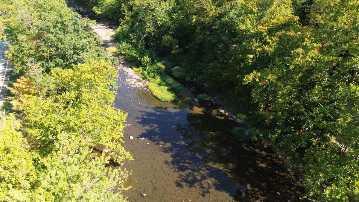
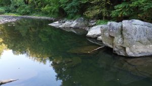
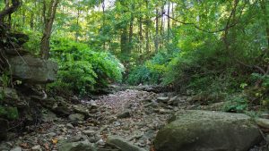
Despite the clear damage and obvious placement of the causeway one can easily get lost in nature forgetting that they are surrounded by Route 30. I’ve found that if one would go in either direction along the Loyalhanna one does get lost in nature. Downstream one can come across the “big rock” with a rather deep area in the water, unfortunately not deep enough to jump off the “big rock”. Upstream the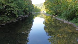 water level is low but I found that due the water level being as low as it is, I could drag my chair out there and have a questionable photo shoot.
 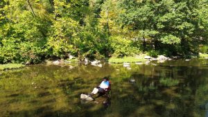 There is also a small hole in nature that allows one to be submerged rather than being surrounded.
As I began to back up my car for departure, more people came to the causeway, a family who took their little girl there, a couple who went swimming, and a few people who came and just stayed in their car, which I understand.
Despite the clogged holes and clear missing pieces that raise some interesting questions. The causeway is simply a place, it’s a place that’ll be whatever you need it to be. An escape from the brick walls of downtown Latrobe or the bunker disguised as a middle school.( Latrobe Jr. High School) A simple fishing spot with visible trout. That the ability to be whatever you need it to be is what in my opinion makes the causeway, “the causeway”


